
Several groups collect trash like this along the river's shoreline multiple times a year.
The Potomac Conservancy gave the Potomac River a B grade in its recent report card, the fifth B in ten years. And while a B is better than the D the river got in 2011 or the C in 2013, the river is “showing no overall improvement in a decade,” the Conservancy announced. “The Potomac’s overall health has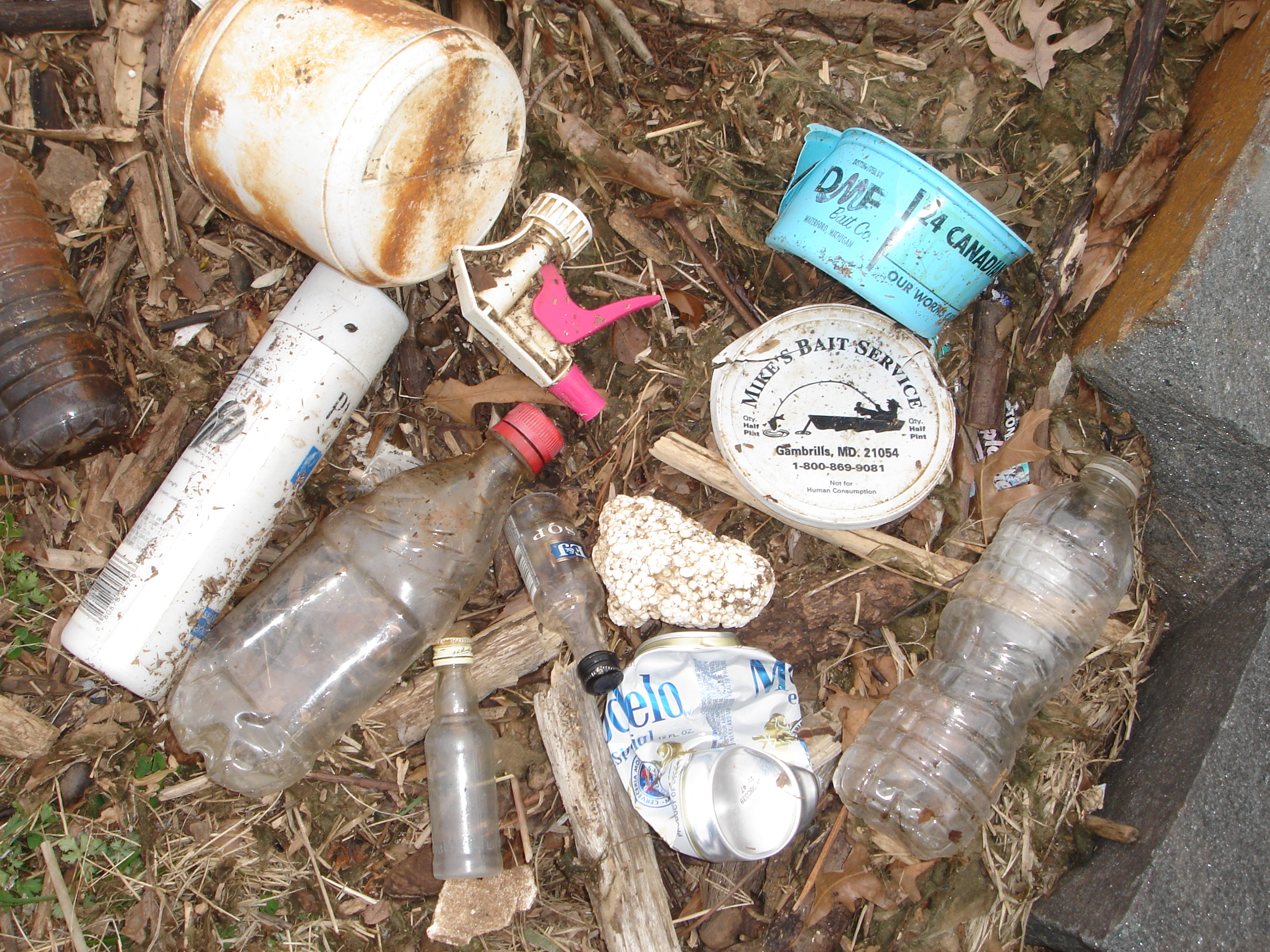 stopped improving.” The river is still not safe for swimming or fishing, concludes the analysis.
Dubbed “the nation’s river,” at least the Potomac is not an “open sewer,” as the Washington Post denounced in 1951 or “a national disgrace,” as President Lyndon B. Johnson lamented in 1965.
The Potomac River watershed drains 14,670 square miles in four states, a watershed with a population of around seven million people. It supplies drinking water to five million people. Of the total population in the watershed, 81 percent live in urban areas. In Northern Virginia, it forms the eastern border of the city of Alexandria and Arlington, Fairfax, Loudoun and Prince William counties.
In a separate, recent Conservancy report, Belin wrote, “Extreme droughts and flooding are becoming the new norm, degrading stream health and community safety. And powerful interests are moving fast: rolling back federal protections, slashing conservation funding and allowing for unchecked data center sprawl.”
The report card uses six indicators: pollution, fish, habitat, land, people and climate.
The Good News
Labeled as “good news,” the report card shows a steady decline in nitrogen, phosphorus and sediment and an increase in river-related recreation, up ten percent since 2020.
Over one-fifth of the land in the watershed is protected from development.
Runoff Is Rising
As for bad news, polluted stormwater runoff is increasing and is the only source of pollution that is on the rise. When runoff flows over paved and hardened surfaces, it carries pollutants like oils, fertilizers and trash. Urban and agricultural environments are major contributors to polluted runoff.
Pollution is exacerbated by continuing forest loss and extreme weather, like droughts and downpours. Pollution is “driven by policies that tolerate industrial agriculture, unchecked development and reckless deforestation,” the report contends.
At a Nov. 12 press conference, Michael Nardolilli, Executive Director of the Interstate Commission on the Potomac River Basin, attributed polluted stormwater to dense development’s widespread impervious surfaces. Hedrick Belin, president of Potomac Conservancy, stressed the goal of having rainwater naturally infiltrate into soils instead of washing off hard surfaces.
Some Fish Are Struggling
Populations of striped bass, white perch and small mouth bass have steadily dropped over the past 20 years. Striped bass got a D- grade and both white perch and smallmouth bass got a grade of D+. Shad populations are unstable.
Invasive fish like blue catfish are pushing native species out of their traditional habitats. Chesapeake Channa, invasive northern snakeheads, “have established a firm foothold in the watershed,” the report asserts.
“Consuming fish remains illegal for communities who live in and around Washington, D. C.,” says the report.
Habitats
Land use and river quality are inextricably linked. “Our forests and wetlands are not decorative — they are defenders,” the report maintains. “They filter pollutants, protect against flooding and offer sanctuary to people and wildlife alike. … Restoring and protecting our land is not just about beautification — it’s about repair, reconnection, and power.”
Forested buffers garnered an A grade. There’s been “an uptick in installed forested buffers over the past three years,” but all states lag behind in their watershed implementation plan goals for forest buffers, falling 132,645 acres short.
In implementing best management practices for land, the report concludes that Maryland and Washington, D.C. “have made strides, while Virginia lags far behind,” calling these disparities “political” and the choices communities have made. Best management practices are measures set by the Chesapeake Bay Program Partnership to protect and restore water quality.
The river’s wetlands, forests and shorelines are at risk by development and poor planning. “The Potomac’s habitats — its wetlands, forests and shorelines — are being pushed aside by unchecked development and fragmented planning. When ecosystems are broken, so is our ability to breathe, cool down, grow food and find peace. True restoration goes beyond conservation — it requires reinvestment in places where both ecosystems and communities have been neglected,” the report argues.
The report gives stream water quality a grade of C+, tidal water quality a C- and underwater grasses a C- grade.
Warnings
Global warming is changing the climate, leading to warmer air and water temperatures, longer droughts and more severe rain storms that stress the river’s ecosystems.
Rising sea levels mean more local flooding. By 2080, Washington, D.C., could have water levels 1.3 to 4.3 feet higher than today. Among the suggested solutions are restoring wetlands, reestablishing stream connectivity and upgrading stormwater systems. Other solutions include holding polluters accountable, implementing “nature-based solutions” and reclaiming public spaces for community use.
Belin is hopeful. He said via email, “We’re not just protecting forests or pulling trash. We're safeguarding a river that over five million people depend on for drinking water and outdoor enjoyment. We’re building trust that community-led conservation can solve big problems. We're restoring hope.”
The report: https://potomacreportcard.org/
The River’s History
In “The Potomac River, A History and Guide,” published in 2012 book, author Garrett Peck traces the river’s natural and human history, from its origin as a trickle at the foot of West Virginia’s Backbone Mountain 3,140 feet above sea level to its mouth at the Chesapeake Bay.
Here are a few facts from the book.
The Potomac River:
* is 383 miles long and flows “through some of the oldest land in the world”;
* is “spared from channelization that permanently scarred so many of our nation’s rivers”;
* in the Alexandria-Mount Vernon area is tidal;
* has five remaining lighthouses, including Jones Point on the southern end of Alexandria.